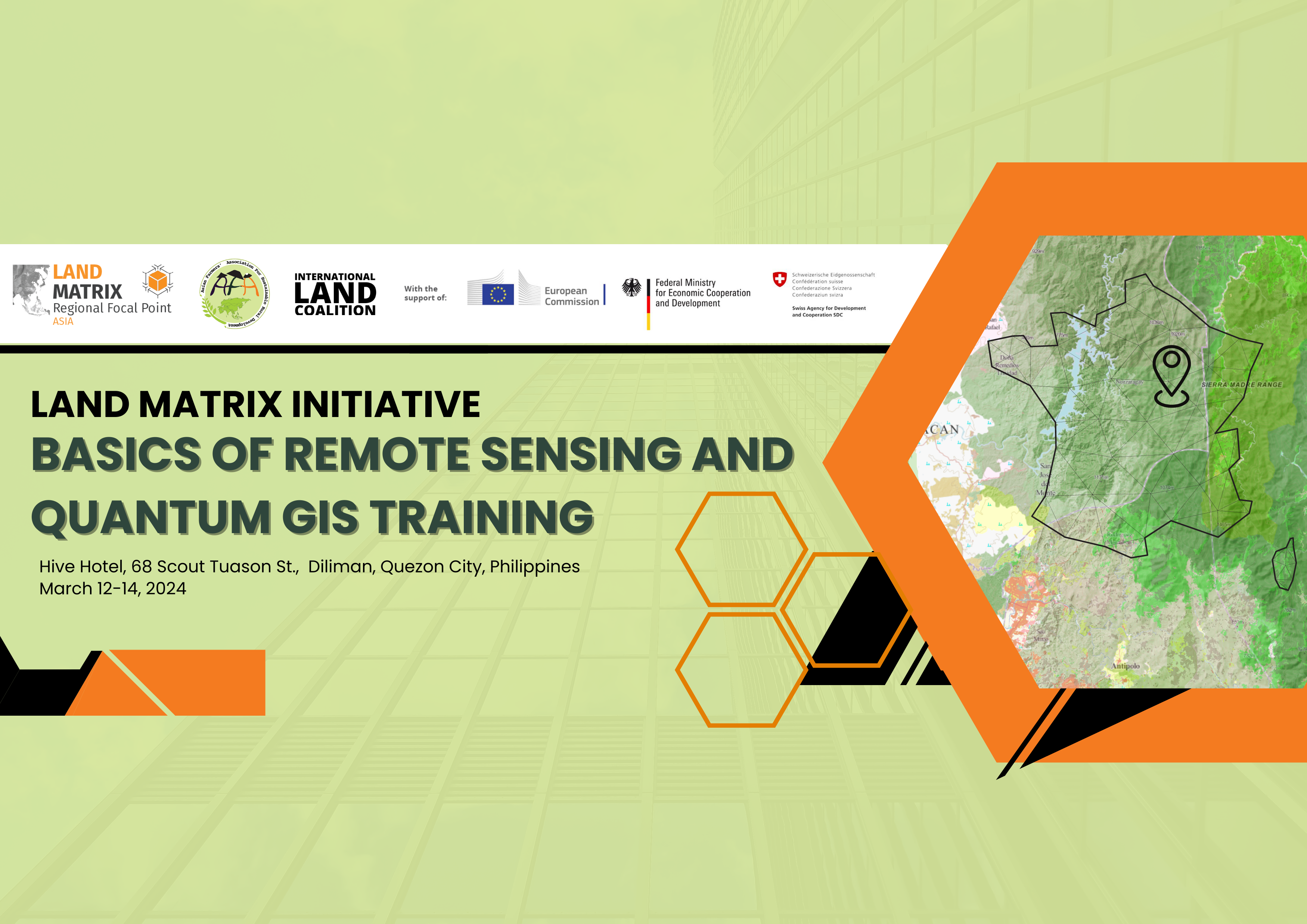
Rationale
Land conflict issues globally, especially the problem of overlapping claims on land tenure, have greatly affected smallholder farmers, indigenous peoples, and local communities. The country’s complex history of land ownership, coupled with the rush for land, rapid urbanization and economic development, has led to numerous disputes over land rights.
One of the major challenges is the lack of data transparency on land governance. Without accurate and accessible information on land ownership and use, it becomes difficult to resolve conflict and develop effective land policies that address the needs of the marginalized. This lack of transparency slows down, and in some cases even stalls the development of necessary policies that could protect the rights of smallholder farmers, indigenous peoples, and local communities.
These conflicts arise from various factors such as unclear land titling systems, overlapping claims by different individuals or groups, and insufficient recognition of indigenous peoples’ ancestral domain rights. Smallholders, who heavily rely on their land for their livelihoods, often face the threat of eviction or loss of their productive resources due to these conflicts. Meanwhile, indigenous communities, with their deep connection to the land, are particularly vulnerable since many struggle to assert their rights and secure legal recognition of their ancestral lands. Their traditional knowledge and sustainable land management practices are endangered by encroachments from mining companies, commercial plantations, and other external actors seeking to exploit natural resources.
The Land Matrix Initiative (LMI) serves as a platform to record these conflicts, particularly focusing on Voluntary Guidelines on the Responsible Governance of Tenure of Land, Fisheries and Forests (VGGT) parameters to assess the responsiveness and compliance of stakeholders on accepted standards for the governance of tenure rights to land, fisheries, and forests. This Land Matrix Initiative also aims to contribute to data transparency, and provide up-to-date, and accurate evidence-based land conflict cases for farmer organizations, civil society and land rights defender organizations to utilize in their advocacy work.
In the practice of recording these land deals, there are certain skills and strategies that can be implemented to maximize the information extracted. Data sourcing, remote sensing (RS) and using geospatial information systems (GIS) are instrumental skills and strategies for contributors to conduct better documentation and recording of evidence on LSLAs.
Objective
The overall goal of this module is to to capacitate Country Data Partners (CDPs) with basic knowledge and skills on Remote Sensing (RS) and Geographic Information System (GIS) skills which can be utilized in their land rights advocacy work as land rights defender and farmers organizations. GIS, RS, and mapping technologies facilitate land rights advocacy by mapping land ownership, monitoring land use changes, and providing evidence for legal disputes. Additionally, these skills can help empower communities through participatory mapping and support policy advocacy efforts by visualizing data on land tenure and resource distribution.
The training will also emphasize familiarizing participants with the Land Matrix Platform, enabling them to document and record current large-scale land acquisitions and land disputes. These issues significantly impact smallholder farmers, Indigenous peoples, and local communities, limiting their rights to own and manage their land and natural resources. This is especially crucial in light of rising investments in renewable energy lands such as solar farms, wind farms, and carbon offsetting projects, which further challenge the tenurial security of Indigenous Peoples and Local Communities (IPLCs).
- Equip Country Data Partners (CDPs) with fundamental knowledge and practical skills in Remote Sensing (RS) and Geographic Information System (GIS) techniques, tailored for utilization in land rights advocacy efforts as land rights defenders and farmers’ organizations.
- Enable CDPs to utilize GIS, RS, and mapping technologies to effectively advocate for land rights by accurately mapping land ownership, monitoring changes in land use, and providing evidentiary support in legal disputes related to land.
- Support policy advocacy efforts by providing CDPs with the ability to visualize and analyze data on land tenure and resource distribution using GIS and RS tools, thereby enhancing the credibility and impact of advocacy campaigns aimed at influencing land-related policies.
- Familiarize participants with the Land Matrix Platform, enabling them to proficiently document and record instances of large-scale land acquisitions and land disputes, particularly those affecting smallholder farmers, Indigenous peoples, and local communities.
- Enhance understanding among CDPs of the significant impacts of large-scale land acquisitions and disputes on the rights of vulnerable groups, such as smallholder farmers and Indigenous peoples, to own and manage their land and natural resources.
- Address the urgency of responding to challenges to tenurial security faced by Indigenous Peoples and Local Communities (IPLCs) posed by increasing investments in renewable energy lands, including solar farms, wind farms, and carbon offsetting projects, through effective documentation and advocacy efforts facilitated by CDPs.
Topics
Given the TNA feedback of the country data partner’s, combined with previous observations and trainings by Regional Focal Point (RFP) Asia, the following topics were deemed necessary for a 2024 LMI training:
- Introduction to the Land Matrix
This session will briefly explain the history of the LMI including what events lead to the creation of the initiative along with the current structure in place in relation to the partners, Regional Focal Points and Country Data Partners. - LM Platform Basics
This session will revisit the Land Matrix Platform, teaching participants how to navigate the website from both the front end and back end of the database. It will also explain the process for activation, along with the different roles with the assigned tasks as data editors. - Introduction to Green Investments
This session will explore the focus of Phase 4 in Green Investments. It will explain why the focus has spread from the previous land deals to the new growing trend of green deals. It will share some tips in researching and how to apply it into the LM Database. - Data Sourcing Strategies
This session will teach participants strategies used by RFP Asia in data sourcing from online research. Some examples being the utilization of the investor chain, online databases and simple hacks in using search engines. - LM Platform Live Editing
This session will conduct a live editing of a selected deal to simulate how researching is done by data editors. Participants will be requested to bring available information on a land tenure case that they have currently from their previous work. It will be then followed by feedback and suggestions by RFP Asia. The final output of this session will be a new deal uploaded into the database, published for public data use. - RS Training
This session will explore the basics of remote sensing. It will give a brief theoretical definition to RS and how it has been used in the past by RFP Asia. Particularly skills in land cover analysis over time and how to create a polygon over a production area. Google Earth Pro and Google Earth will serve as the selected application. Participants will be taught how to navigate and use these applications according to tasks related to the LMI. The final output of this session will be a polygon of a production area identified via RS. - GIS Training
This session will give a basic module on geospatial information systems, how to use them in relation to the Land Matrix Initiative and the utilization of the QGIS application. Simple mapping techniques will be taught here as well as it is essential in the advocacy. It will also briefly explain the importance of Georeferencing Systems as it is a crucial aspect in GIS. The final output of this session will be a vicinity map.
Comments are closed